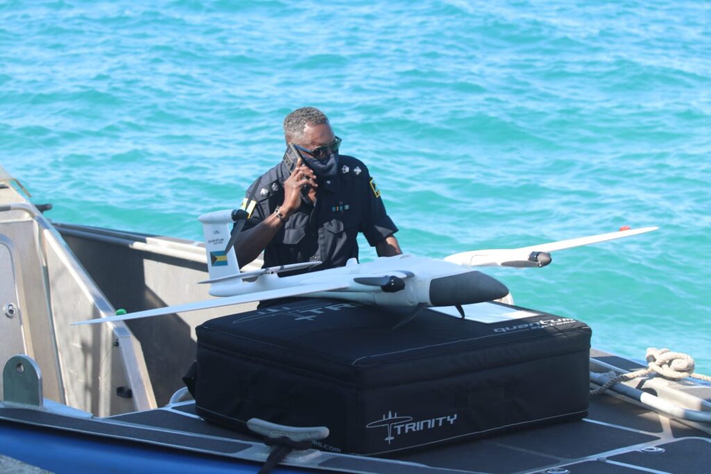
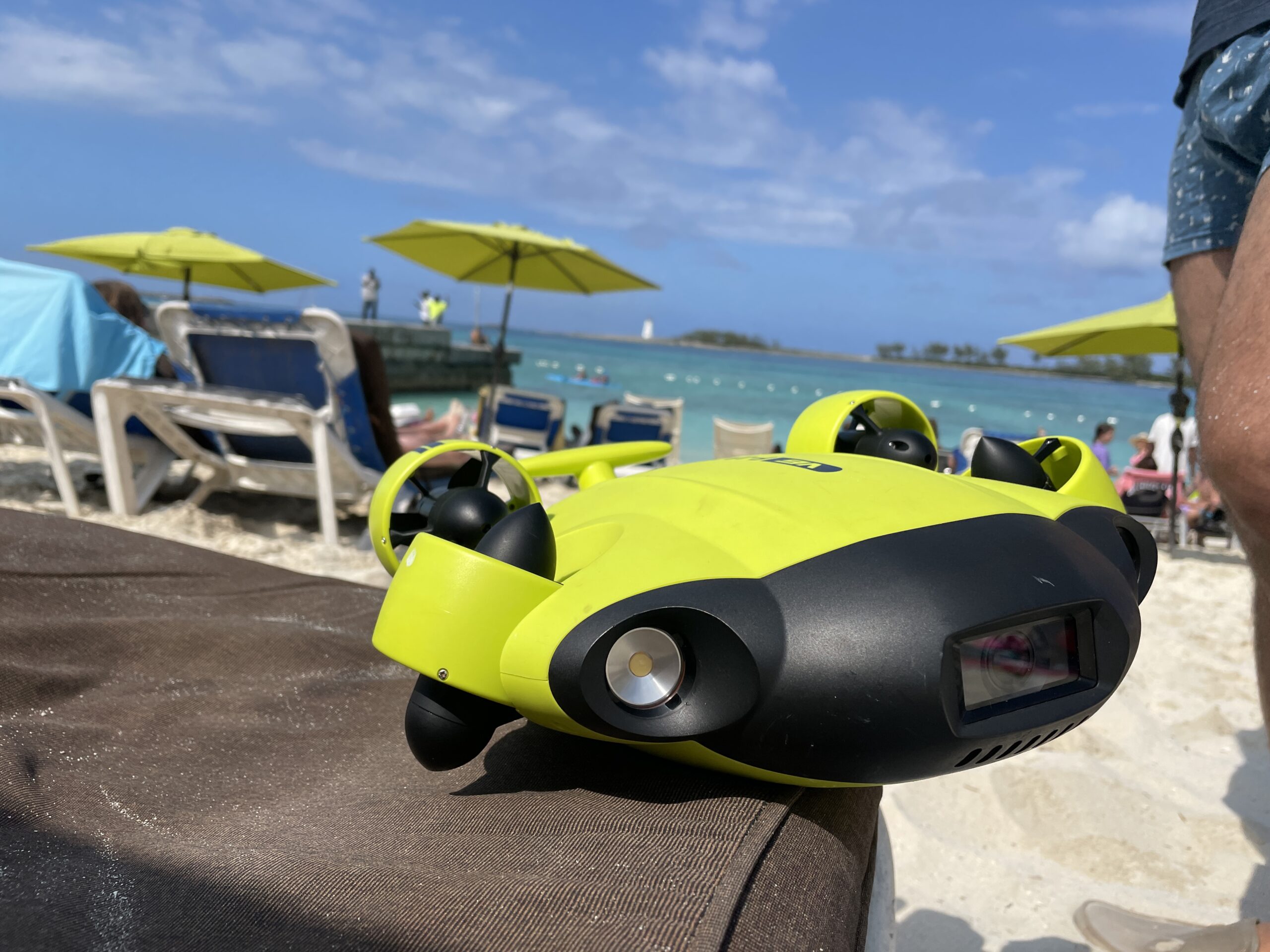
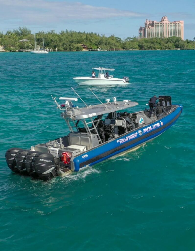
We specialize in Underwater Photography and Videography, capturing stunning high-resolution imagery for marine research, infrastructure inspections, environmental monitoring, and commercial projects. Using advanced underwater technology, we deliver clear, detailed visuals to support exploration, conservation, and industry needs.
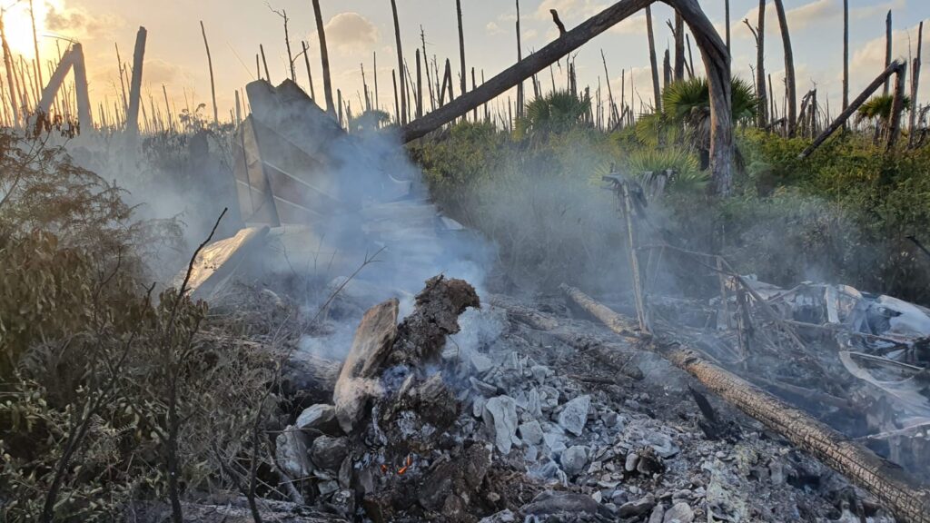
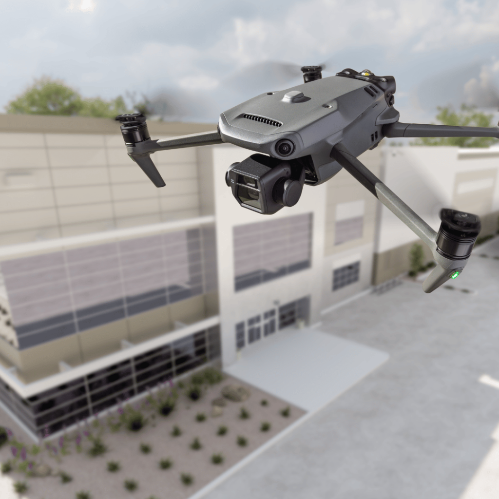
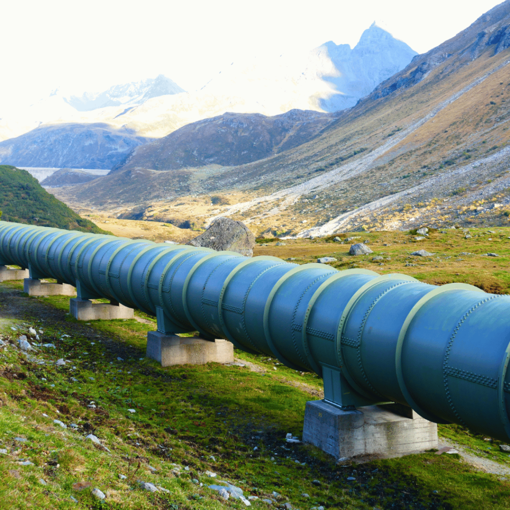
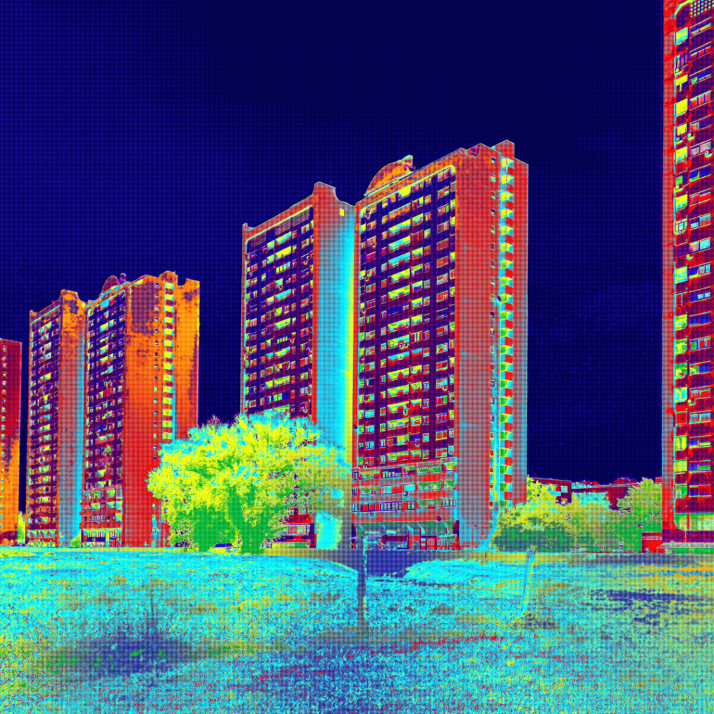
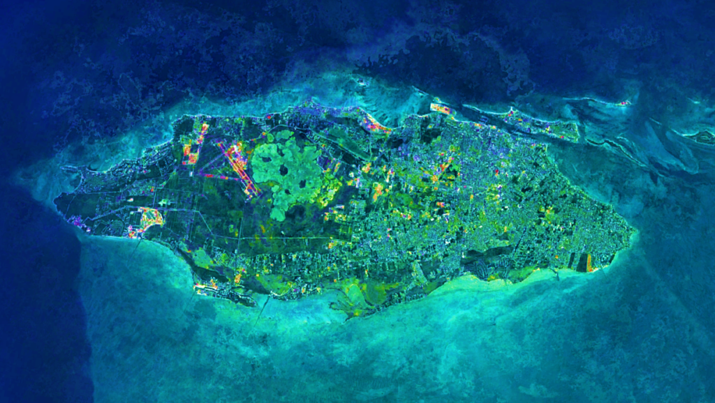
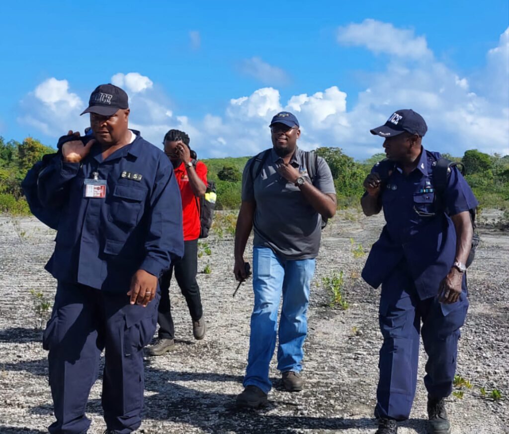
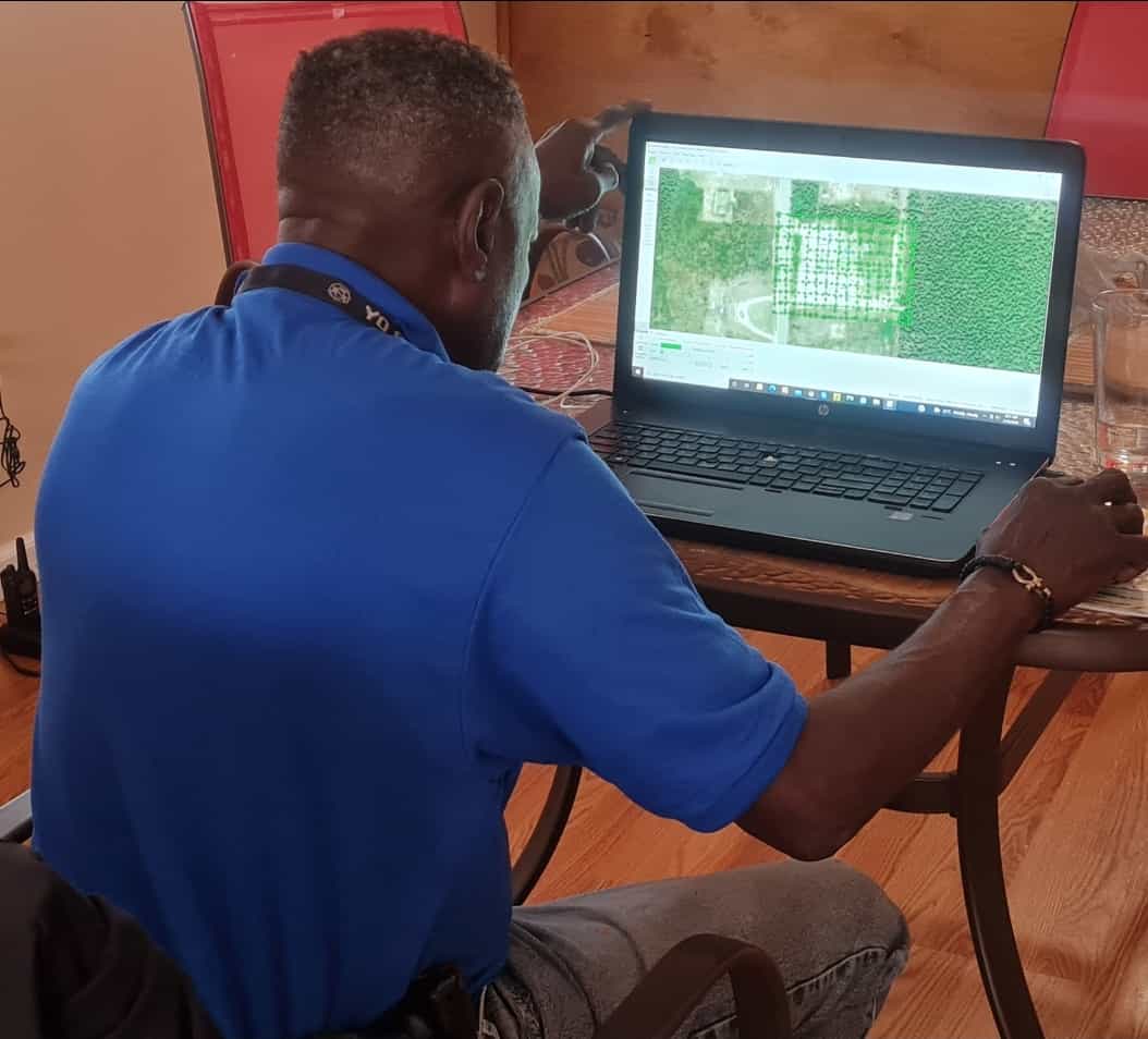
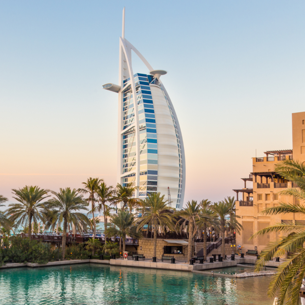
We provide advanced Satellite and Aerial Image Analytics to transform raw imagery into valuable data-driven insights. From land monitoring and urban planning to environmental analysis and infrastructure assessments, our technology enhances decision-making, efficiency, and precision across industries.
Our special quality team will make sure your software is fit for potential customers. We offer unlimited revisions till you are happy with the quality.
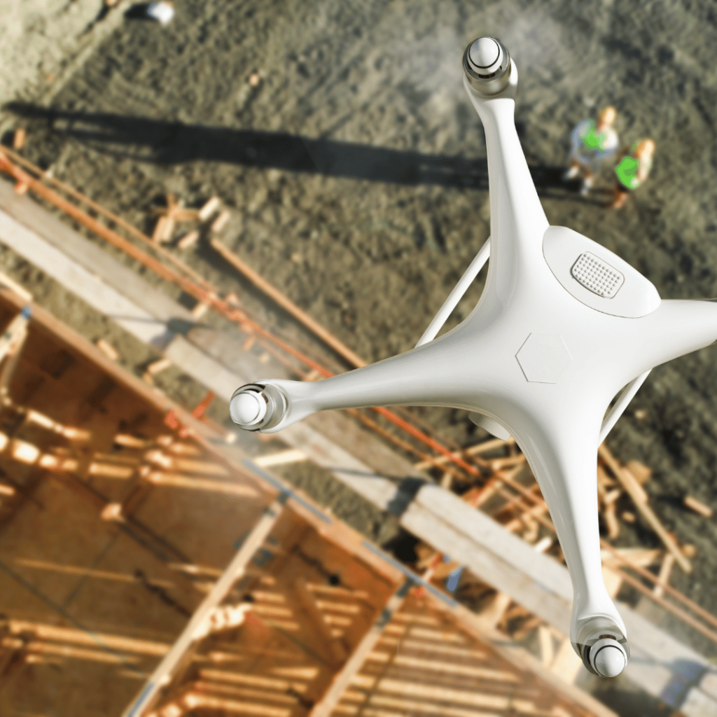
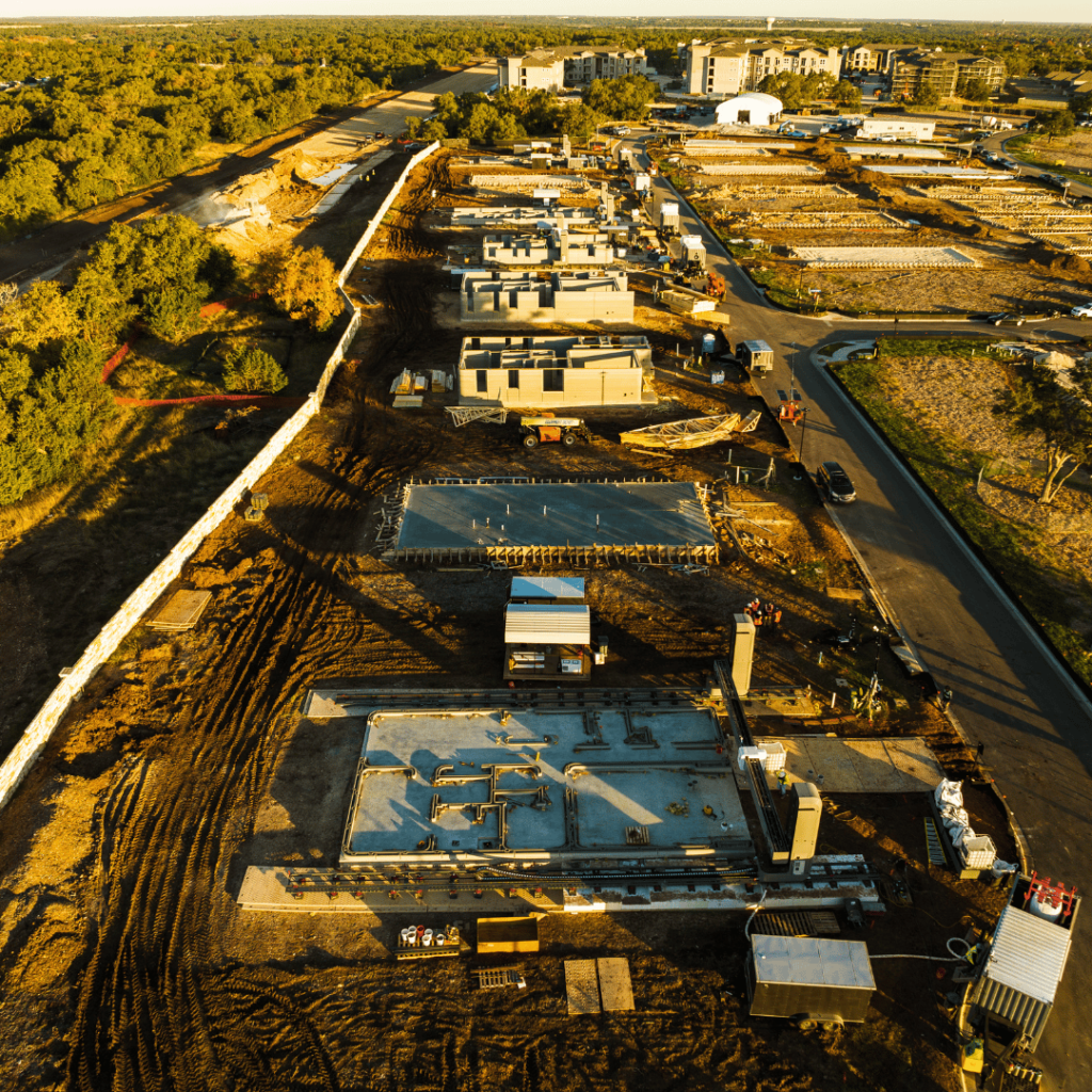
We provide 3D mapping and scanning in the following industries.
Construction
Engineering
Event Planning
Virtual Tours and Experiences
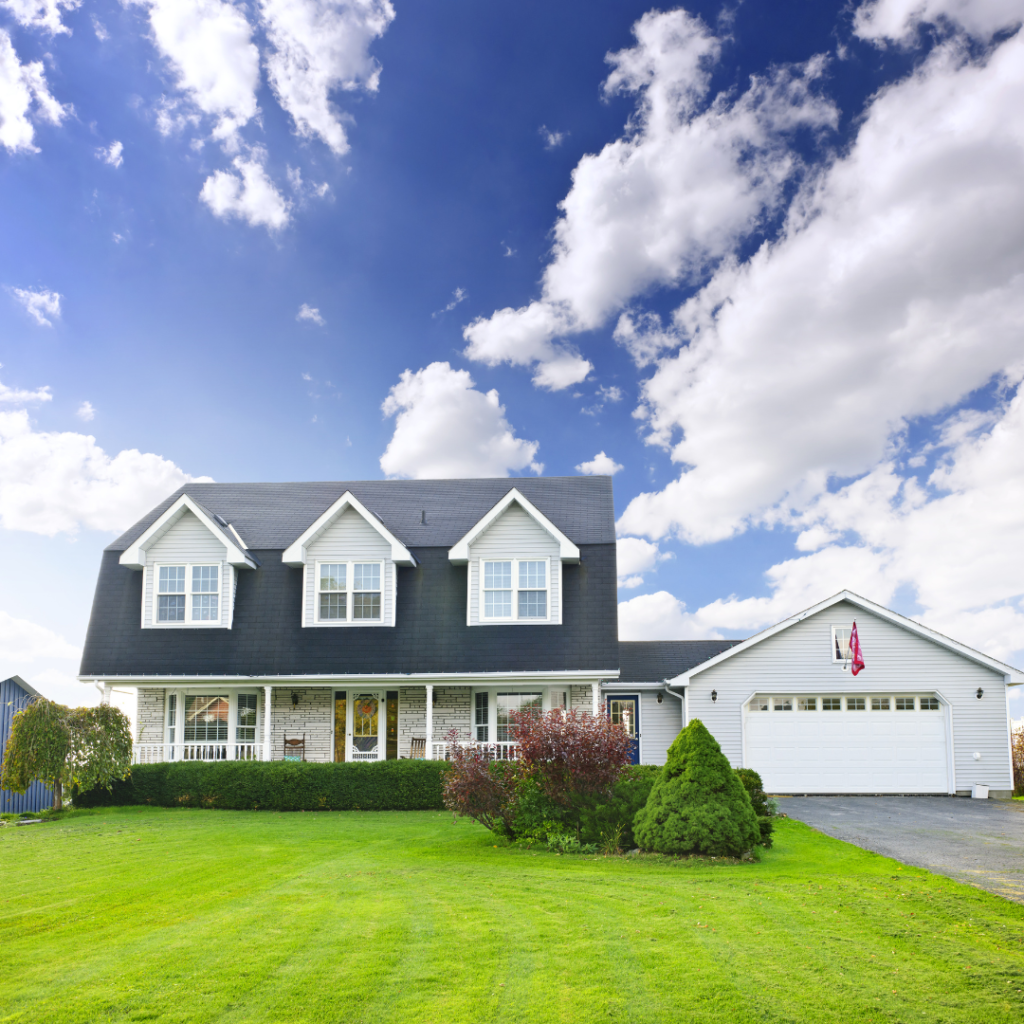
Real Estate
Architecture
Consultation service includes:
3D ROI
Identify best ROI for implementing a 3D data strategy, based on requirements, and deliverables.
Aerial Integration
Defining a plan to incorporate aerial imagery, 3D scans, GIS mapping and/or AR/VR.
Data Sources
Select the best data source and modalities: satellite, crewed aircraft, drones, and more.
Sensor Selection
Select camera and other sensors: agriculture (multispectral), inspection, 3D scanning, gas detection, thermal and resource exploration (hyperspectral).
Aerial Integration
Defining a plan to incorporate aerial imagery, 3D scans, GIS mapping and/or AR/VR.
SOP Establishment
Put in place SOPs for best data collection, processing and sharing.
Workflow Compatibility
Ensure all data is compatible with your current workflows.
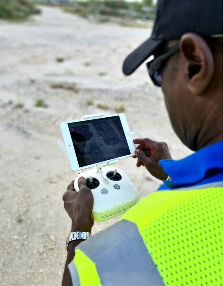
Drone Training
Training on drone piloting, data collection, and photogrammetry data processing. (Context Capture, Pix4D and Reality Capture)
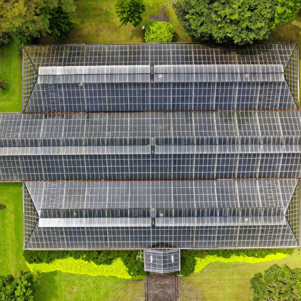
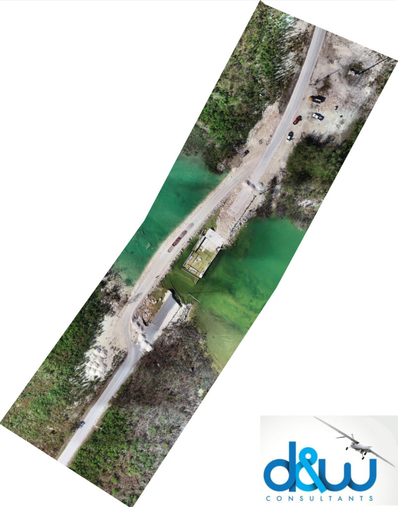
Reality capture
Our team is skilled in 3D reconstruction from the city scale to the micro scale. We can create photorealistic 3D scans of buildings, objects, landscape and more. We utilize high resolution sensors such as DSLRs, medium and large format, 360 cameras, and combine cameras with LiDAR laser scanners to bring real life into digital 3D.
We utilize sensors mounted to airplanes, helicopters, drones, cars, robots and submarine ROVs to be able to provide 3D scanning above and below ground. Our data product include 3D models, point clouds, orthophotos virtual tours, scenes and more. These models and maps can be used for construction monitoring, parking lot and commercial real estate scouting, remote training, immersive experiences, monitoring land and property over time, and more.
Identify best ROI for implementing a 3D data strategy, based on requirements, and deliverables.
Aerial Integration
Defining a plan to incorporate aerial imagery, 3D scans, GIS mapping and/or AR/VR.
Data Sources
Select the best data source and modalities: satellite, crewed aircraft, drones, and more.
Sensor Selection
Select camera and other sensors: agriculture (multispectral), inspection, 3D scanning, gas detection, thermal and resource exploration (hyperspectral).
Aerial Integration
Defining a plan to incorporate aerial imagery, 3D scans, GIS mapping and/or AR/VR.
SOP Establishment
Put in place SOPs for best data collection, processing and sharing.
Workflow Compatibility
Ensure all data is compatible with your current workflows.
Drone Training
Training on drone piloting, data collection, and photogrammetry data processing. (Context Capture, Pix4D and Reality Capture)